Plan Your Visit
Interested in learning more about St. Clair's Defeat and the Battle of Fort Recovery? Plan your visit now!
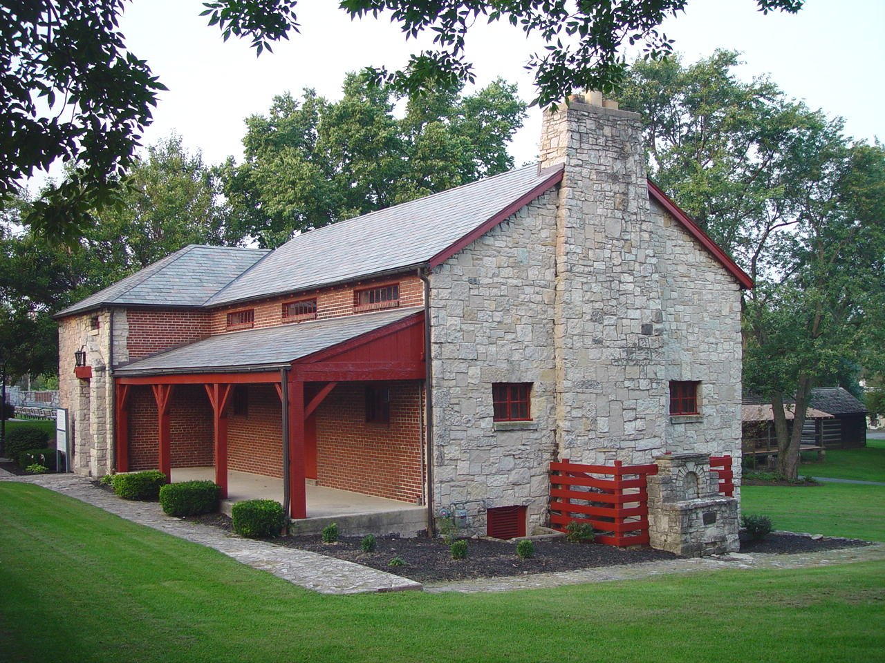
Museum Hours of Operation
May - Saturday and Sunday, 11:00-4:00
June through August - Wednesday through Sunday, 11:00-4:00
September & October - Saturday and Sunday, 11:00-4:00
Closed all federal holidays.

Museum Admission Fees
Adults $5 Children (5-12) $2 5 and under FREE
Ohio History Connection members FREE
Fort Recovery State Museum accepts cash or check. We regret that we cannot accept credit cards. An ATM is located across the street from the museum.
Get the most out of your visitGuided Tours
Guided outdoor battlefield tours (1 hour) are scheduled the 2nd Sunday of the month May through October at 12:00 and 3:00. Tour included with Museum admission.
Private outdoor battlefield tours (1 hour) can be scheduled March through October. Cost of $20 per group, with an additional charge of $5.00 for person. Includes Museum admission. Use the Request a Tour button below to schedule a tour using the Contact Us page.
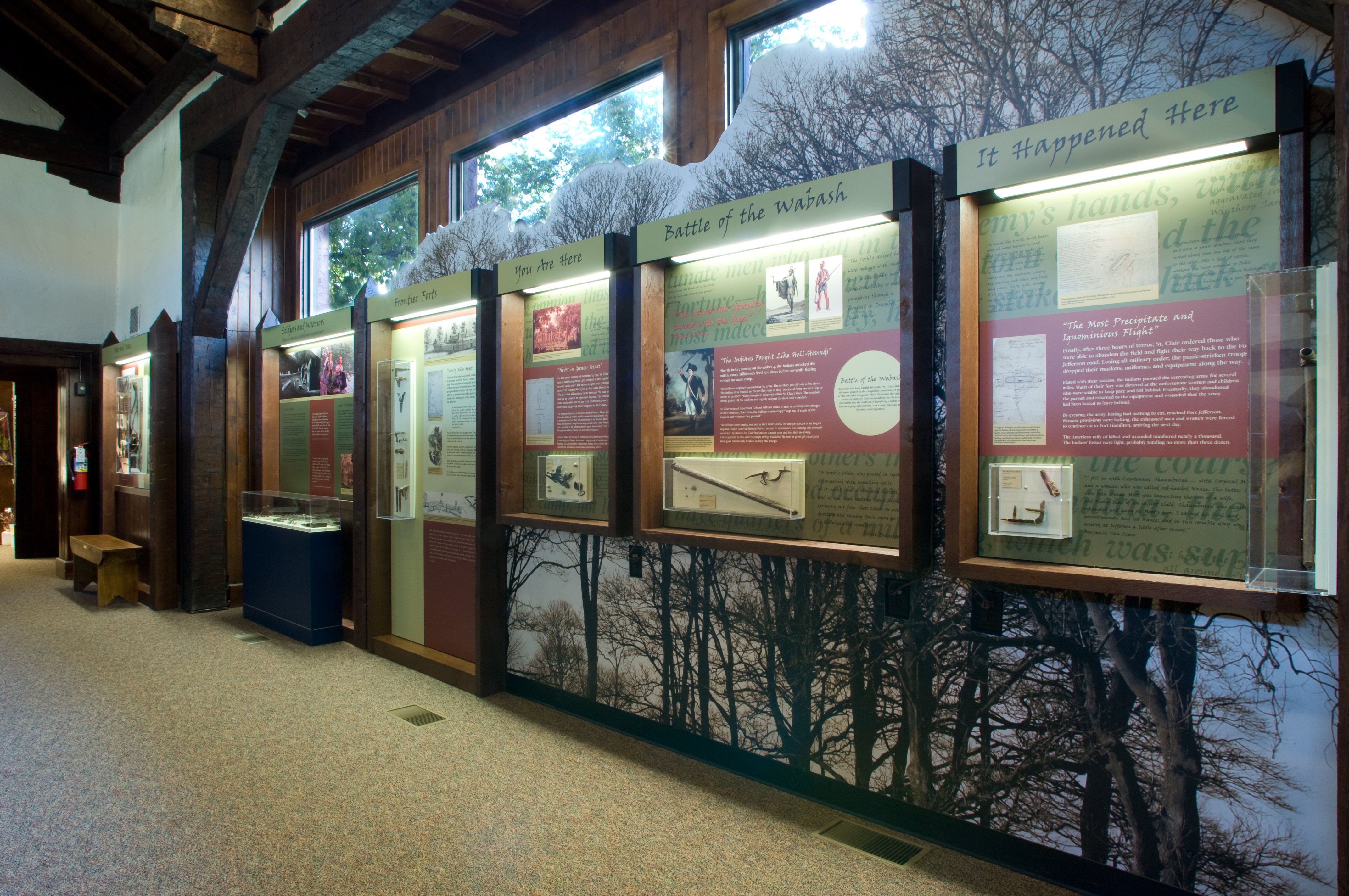
Points of Interest
In addition to the Fort Recovery Museum, there are numerous other historical points of interest in the Fort Recovery area.
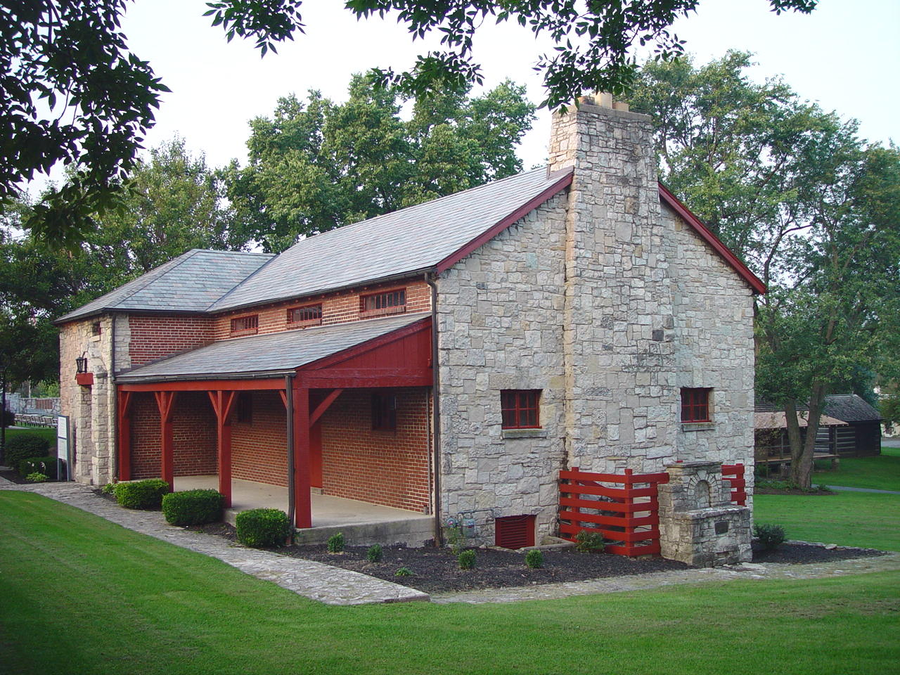
Fort Recovery Museum
View prehistoric artifacts, historic exhibits, learn more about the town, and more.
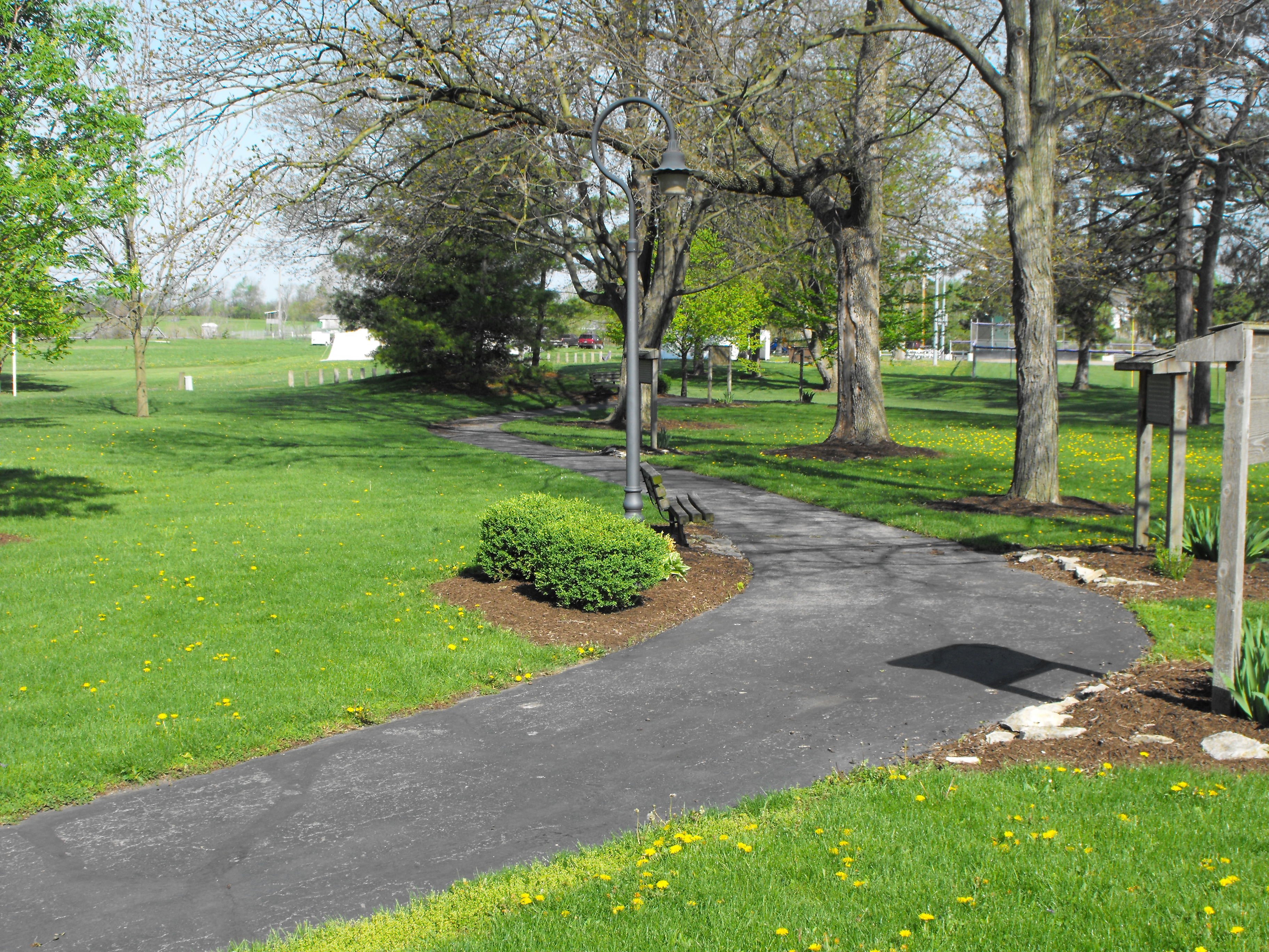
Franke Historical Walkway
The walkway links the Fort Site Park to the museum grounds. The walkway was constructed in memory of Herbert J. Franke by his family and friends.
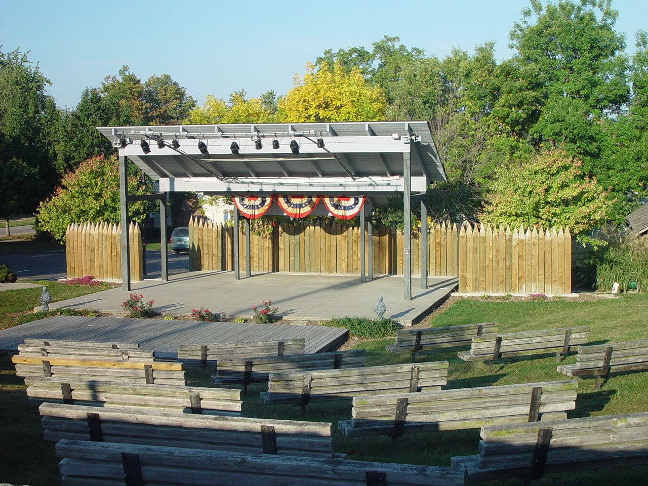
VanTrees Park
VanTrees Park was made possible by a donation from Robert and Marge VanTrees. It was constructed in 1991 as part of Fort Recovery's bicentennial celebration. Built inside the park, is the Hein Amphitheater. On Sunday nights throughout the summer, concerts are held in the park, which are funded by donations and the Fort Recovery Friends of the Arts. The park is located just south of the museum.
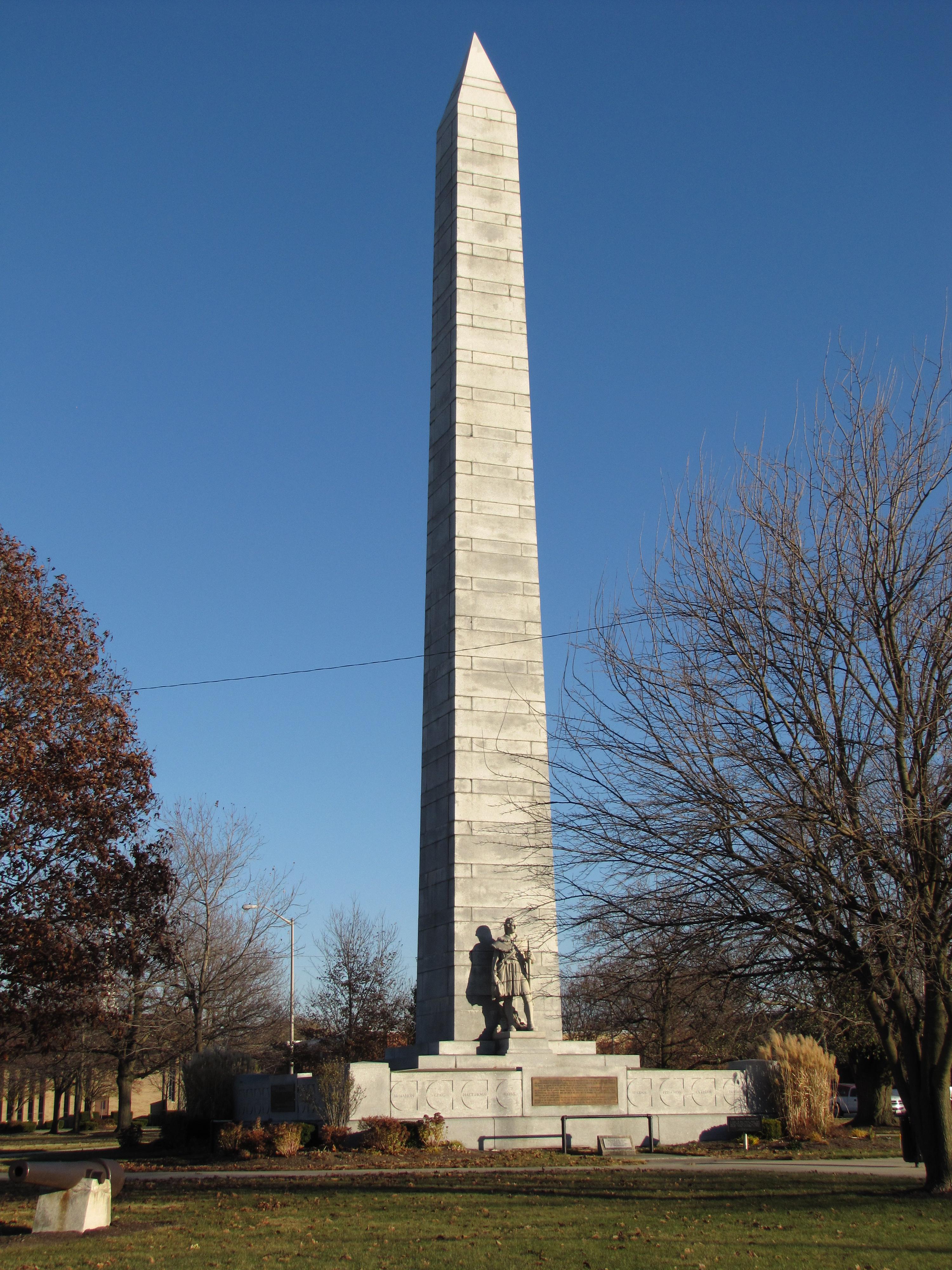
Fort Recovery Monument Park
In 1908, President William Howard Taft signed a bill that allowed for the building of a monument in Fort Recovery. The monument was built in 1912 and dedicated on July 1, 1913. The obelisk stands at 101', 4" tall. It weighs approximately 800 tons and costs $23,700 to build. Underneath the base of the monument are the remains of those people killed under the commands of Arthur St. Clair and Anthony Wayne. 32 medallions surround the base of the monument, each inscribed with the name of an officer killed in battle here. Four bronze plaques also surround the base of the monument. Each Memorial Day weekend, over 900 crosses are placed in Monument Park in remembrance of the fallen soldiers. The park is located at the corner of OH-49 and OH-119.
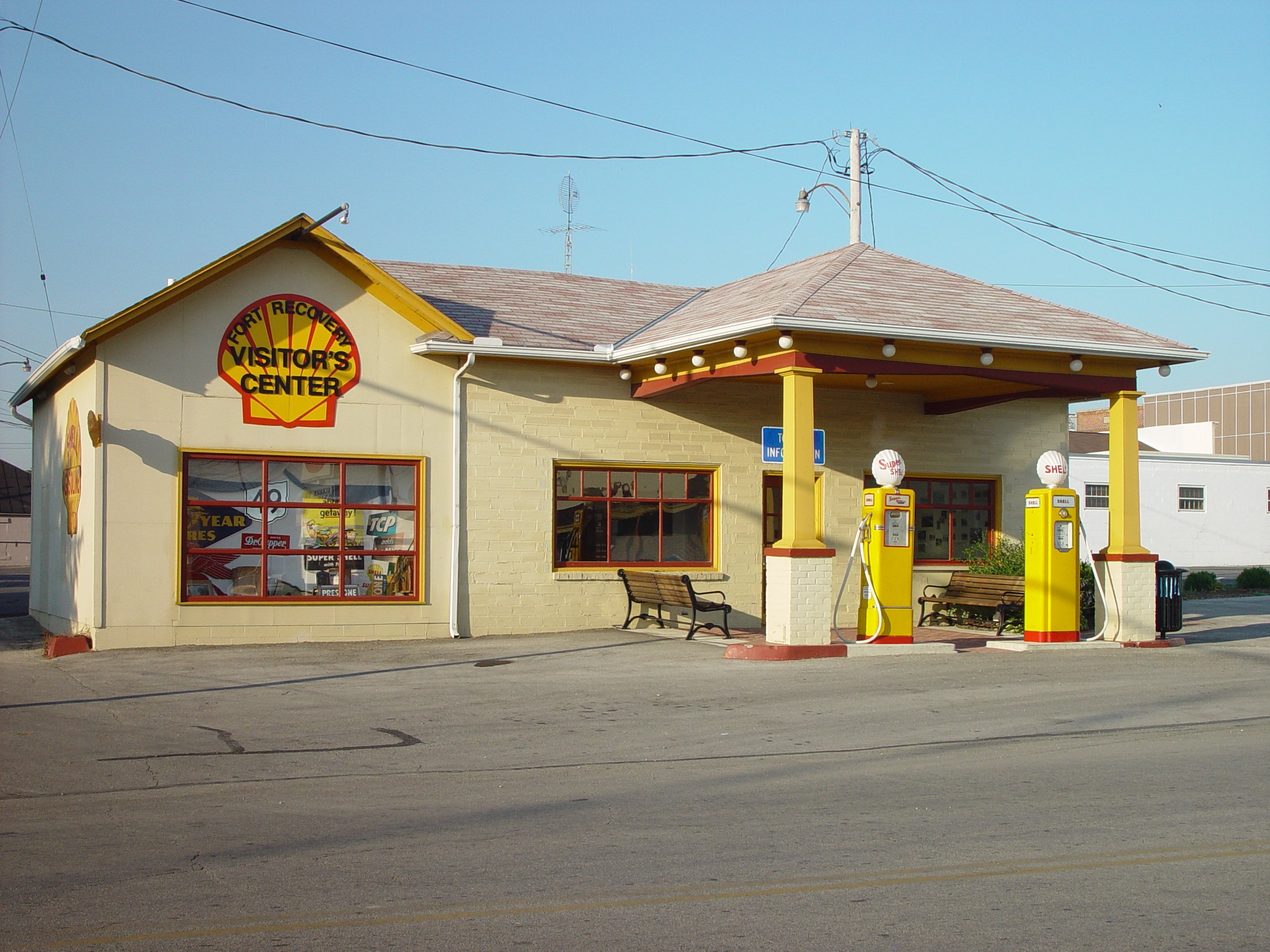
Visitor Center
The Fort Recovery Visitor's Center was built in 1998 to aid tourists visiting the local area. Inside, visitors will find displays of local history, information on attractions around the area, and handicap-accessible restrooms. The building originally housed the old Shell Station in town and was restored to resemble it. The visitor's center is located on Boundary Street, just east of Wayne Steet and a short walk from both the museum and Monument Park.
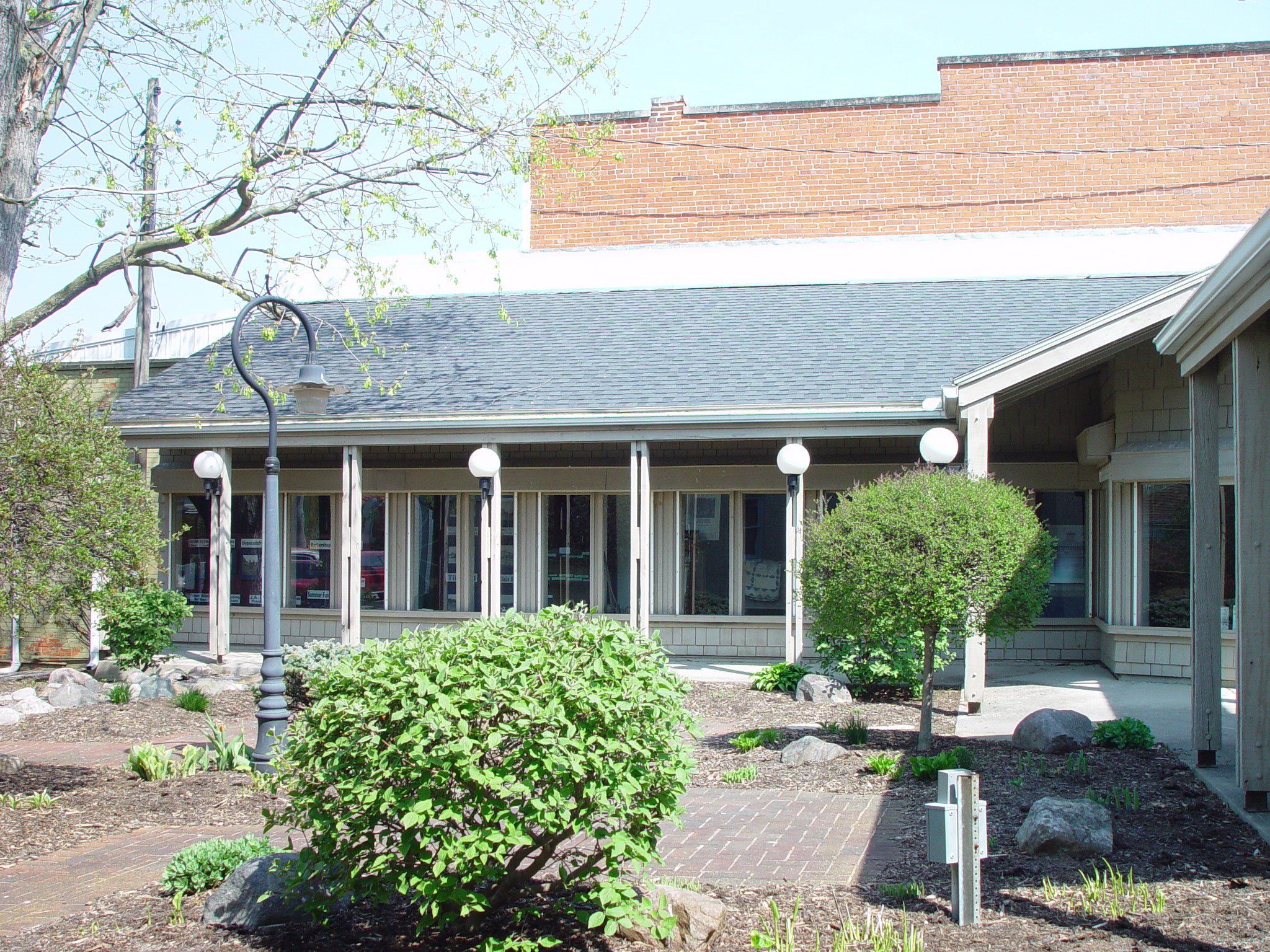
Walk-By Museum
The walk-by museum, located in Krenning Park, displays items of local interest, with displays changed throughout the year.
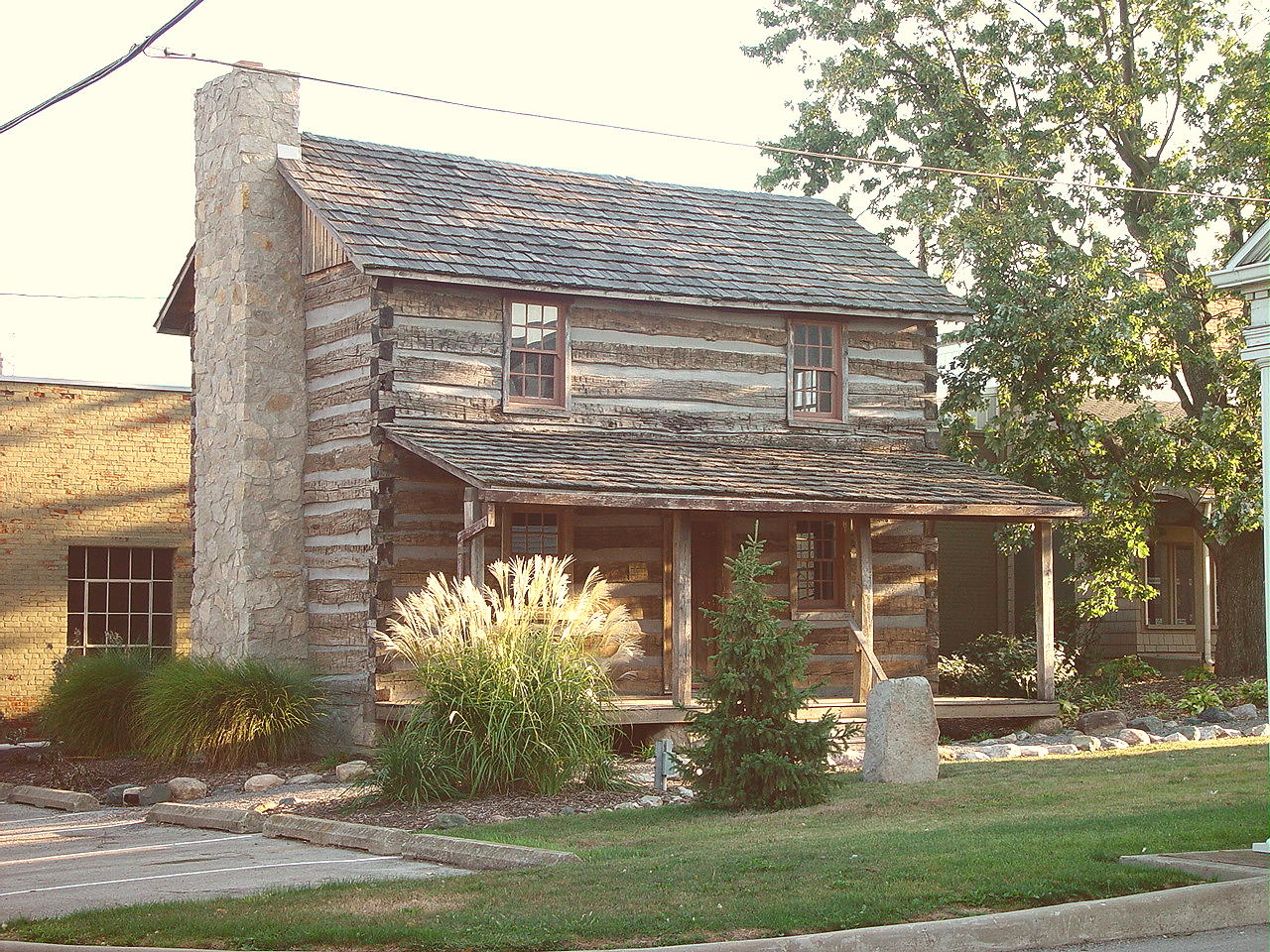
Log Cabin
This log cabin was the original home of Joseph and Delores Eischen. The Fort Recovery Historical Society relocated this 1840 log house across the street from the museum. Displays on the first floor include items from the 1800s and early 1900s that were donated to the historical society.

Blacksmith Shop
This former log home has been transformed into a typical blacksmith shop. There are tools and crafts that were commonly made by blacksmiths as well as early farm equipment on display inside. These items were all donated by local families. The Blacksmith Shop sits on the museum grounds.
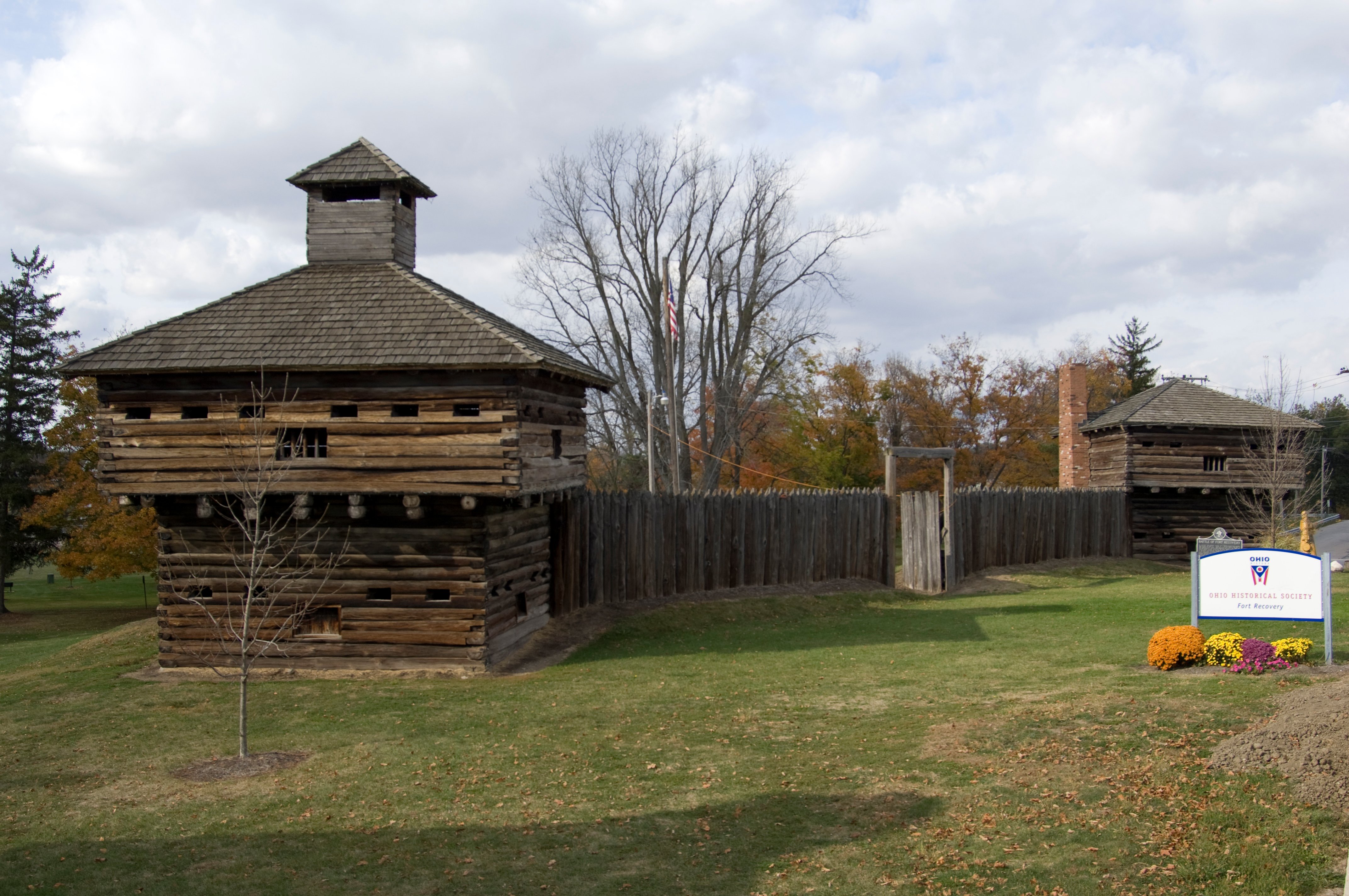
Blockhouse and Stockade
The existing fort is the second reconstruction of the original. It was built in 1956 and features two 20ft x 20ft blockhouses with a connecting stockade. Inside the area of the fort lies the corner marker of the Treaty of Greenville, which was established in 1795 and surveyed in 1799. Down the hill from the fort is the original location of the Wabash River. The fort is located right next to the Museum.
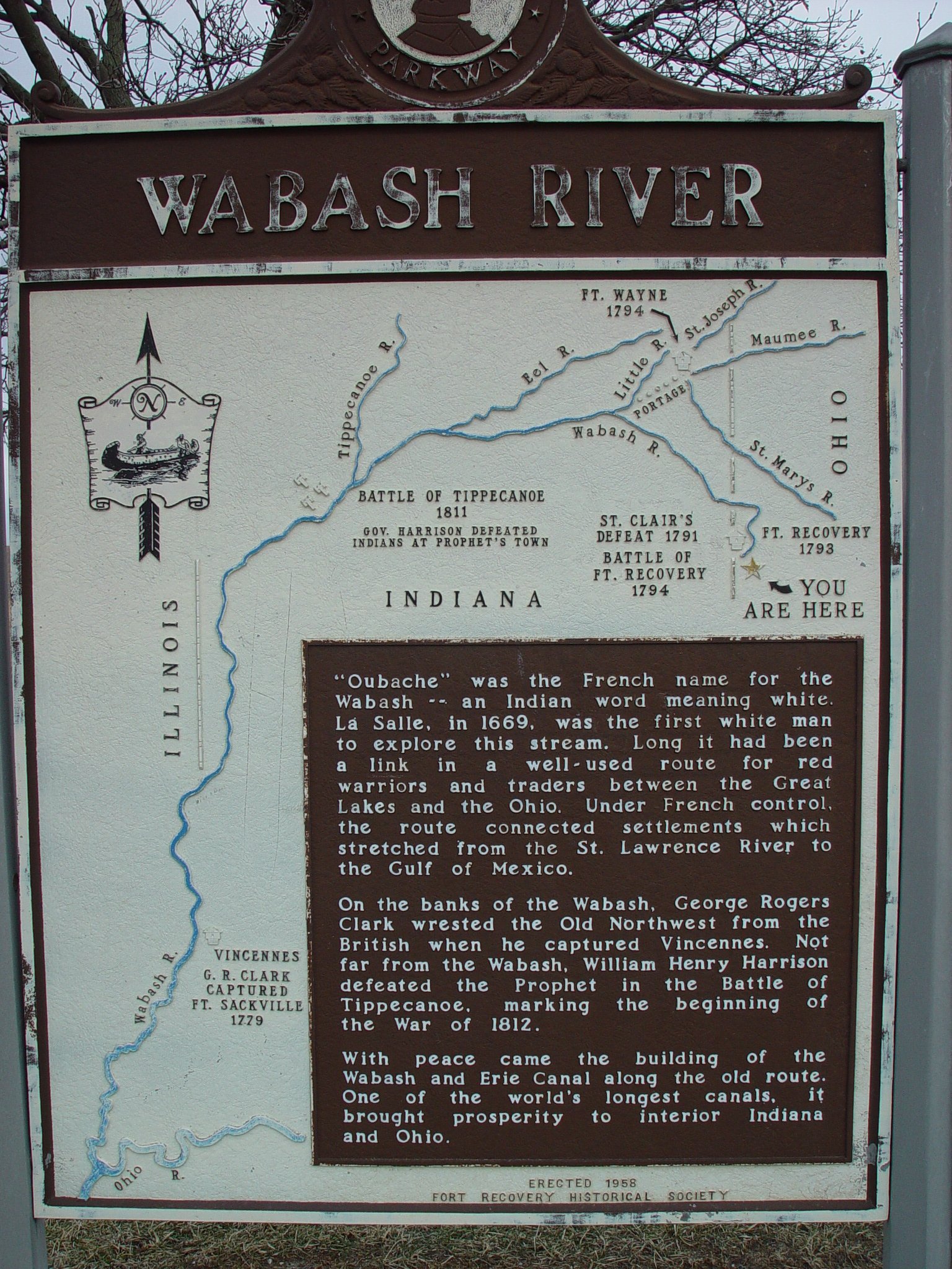
Source of the Wabash River
Found five miles south of Fort Recovery, at the intersection of Mercer-Darke County Line Road and State Route 49, the Wabash River travels some seventy miles before reaching Fort Recovery. The Wabash River was important to the Native Americans since it heads west and then south to the Ohio River.
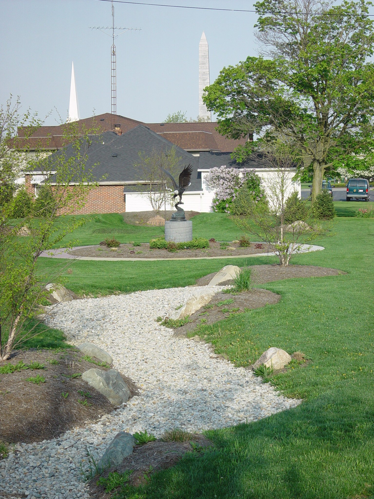
Eagle Point
This recognition of the Indian tribes who lived in this area was completed in 2009. It features: 1) boulders, each with the name of a tribe that was represented at the Greenville Treaty; 2) a four-colored concrete Circle of Life which was symbolic of so many aspects of life; 3) native grasses and flowers reflecting the colors of the circle and the 1700's time period; 4) a gravel pathway representing the Wabash River, and 5) granite on steel eagles facing significant directions.
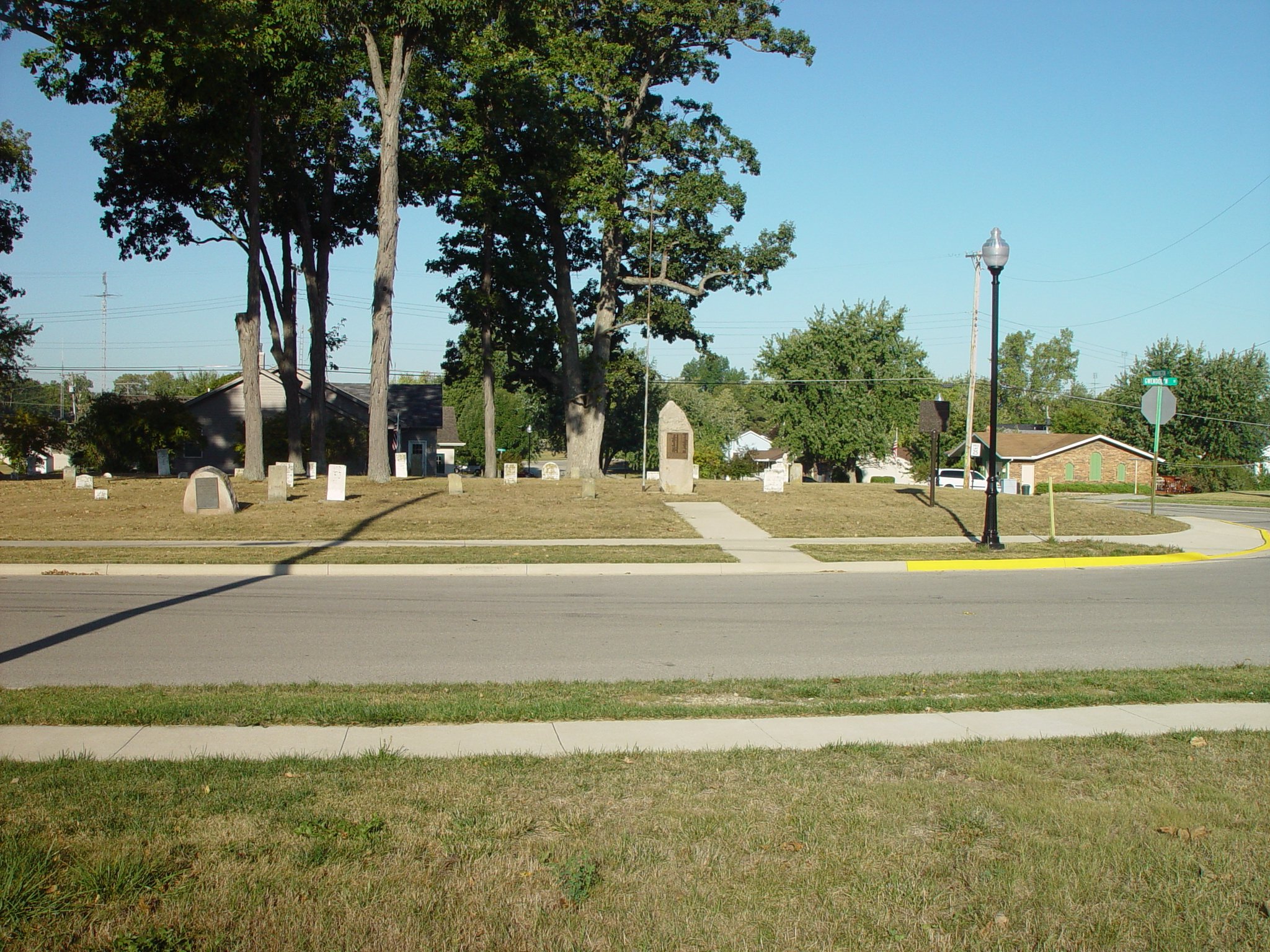
Pioneer Cemetery
Among the first settlers to the area, Mr. and Mrs. John Simison were buried in Pioneer Cemetery in 1820. In 1851, after some boys playing along the Wabash River found many bones that had been buried, the townspeople realized the bones were from the soldiers killed in St. Clair's Defeat and the Battle of Fort Recovery. A proper burial followed in Pioneer Cemetery with 13 big wooden caskets and a small one containing the bones of the fallen soldiers. A stone marker was engraved in their memory. These bones were later interred under the Fort Recovery Monument. Pioneer Cemetery is the oldest cemetery in Mercer County.
